Lake 22: Great Early Season Hiking In Washington State

Looking to experience the beauty of Lake 22 without the crowds? While this hiking trail is undoubtedly popular for its stunning scenery, it can often be bustling with fellow adventurers. However, if you are someone who prefers a quieter trek, exploring Lake 22 early in the season might be the ideal solution. I find April and May to be an amazing time to embark on this adventure, as the trail tends to be less crowded compared to the peak summer months June through August. Covering 5.4 miles roundtrip with a moderate elevation gain of 1,350 feet, this stunning hike is a great trail choice to explore before the busiest hiking season hits.
Lake 22 Quick Trail Facts.
Trail Length: Approximately 5.4 miles roundtrip
Elevation Gain: Ascend 1,350 feet along the route
High Point: 2,400 feet
Difficulty: Easy to Moderate
Kid friendly: Yes
Best Season: May through November
Trail Type: Out-and-Back Trail
Hike Type: Day Hike
Parking Pass Required: Access with either a Northwest Forest Pass or America the Beautiful Pass
Dog-Friendly: Leashed dogs are welcome on the trail
Trailhead: North Cascades > Mountain Loop Highway
Trail: Lake Twenty Two
Trail Number: #702
Maximum Party Size: 12
Region: Mt. Baker-Snoqualmie National Forest, Darrington Ranger District
SEASONAL ROAD CLOSURE NOTICE: Please be aware that roads within and surrounding the Mt. Baker-Snoqualmie National Forest may undergo seasonal closures. For the latest updates and information, we encourage you to visit https://www.fs.usda.gov/alerts/mbs/alerts-notices
Parking at The Lake 22 Trailhead:
I had no trouble finding parking off-season around April 13th but this is often not the case. This trail is crazy popular where it is best to get there early, or else parking could be a nightmare. Just a heads up, WTA.org warns that cars blocking the highway near the Lake 22 trailhead might get towed. Stick to the designated spots, or better yet, hit the trail during the week to dodge any parking headaches.
Are There Toilets At Lake 22?
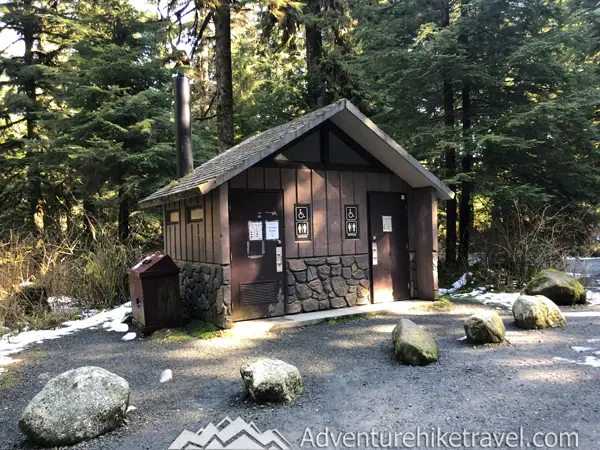
Yes, there is a pit toilet at the Lake 22 parking lot.
The Trail to Lake 22
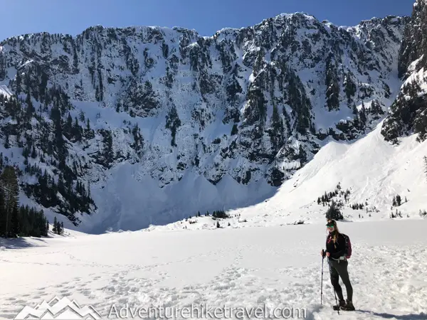
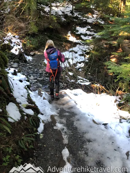
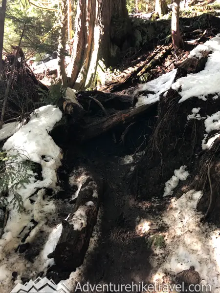
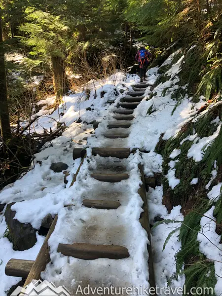
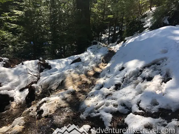
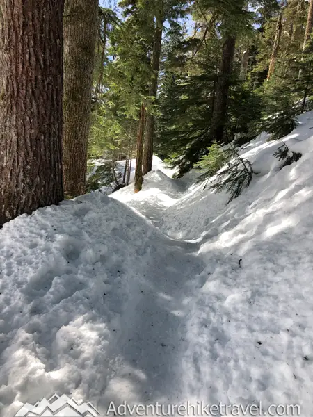
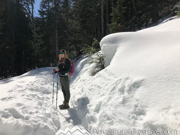
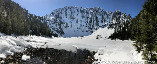
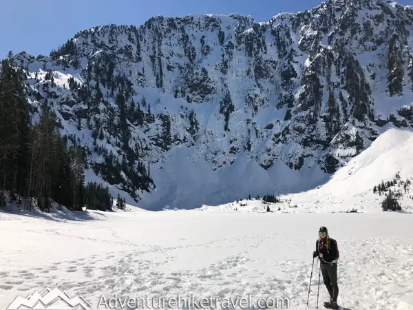
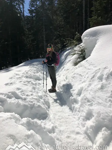
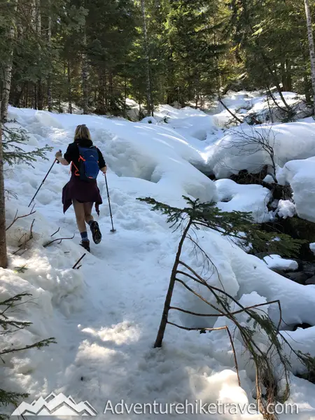
In mid-April, the trail to Lake 22 is often still snow-covered near the upper half of the trail where I wear microspikes and use trekking poles when doing this hike. The beginning stretch of the trail is generally snow-free until the final climb to the top. Conditions vary from year to year. Some years the lake is melted out and others it is still frozen. Be sure to check the latest trail reports before going on this hike, especially in the early season when week-to-week conditions vary rapidly. A great spot to see the latest Trip reports is on WTA and AllTrails.
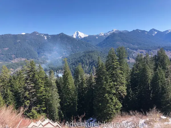
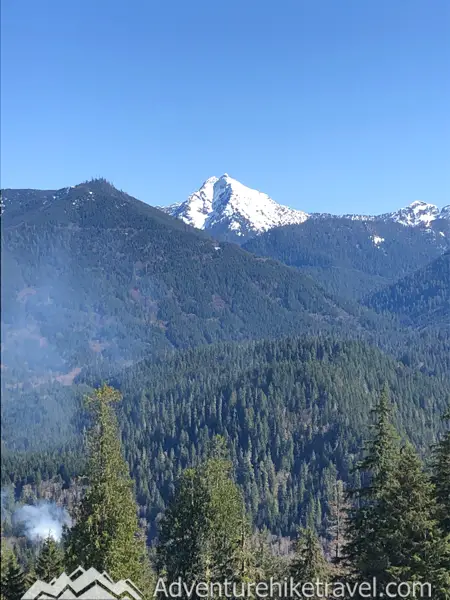
This moderate 5.4-mile roundtrip 1,350-foot hike is a fantastic hike to do before the prime hiking season months. Of course, if you don't mind crowds It is an amazing summer hike as well. Filled with lush old-growth forests, stunning waterfalls, and creeks with gorgeous views of Mount Pilchuck and then the picturesque Lake 22 itself.
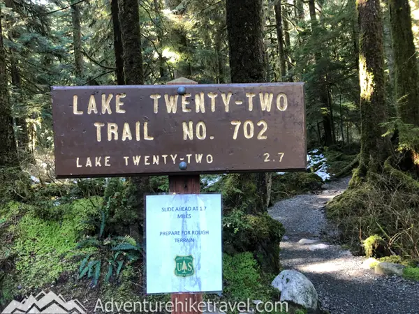
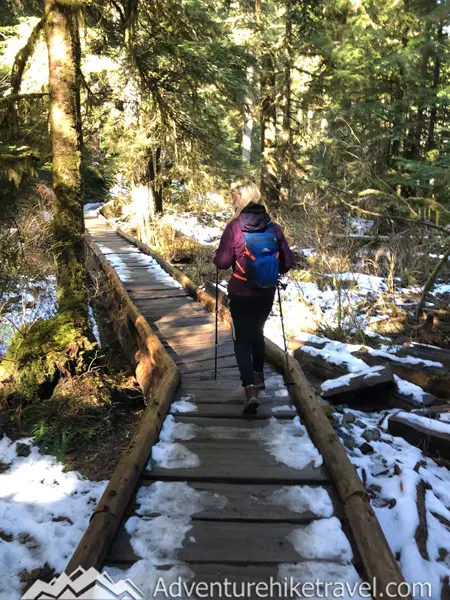
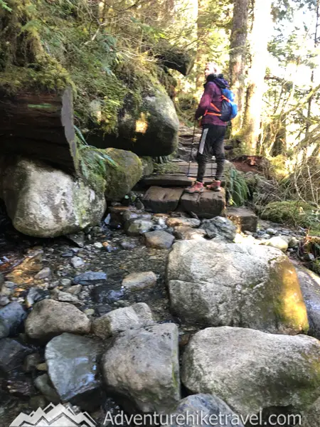
The start of the trail is clearly marked with the Lake 22 trail number 702 sign. You follow a gental well-maintained trail through the lush rainforest filled with old-growth trees along 22 Creek. At the start of the trail, you'll notice significant improvements, including charming boardwalk bridges over muddy wetlands and newly added gravel.
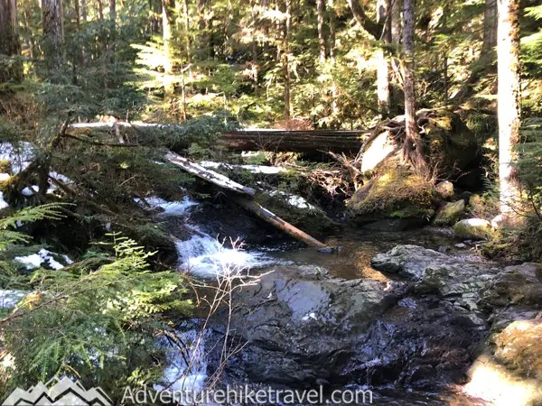
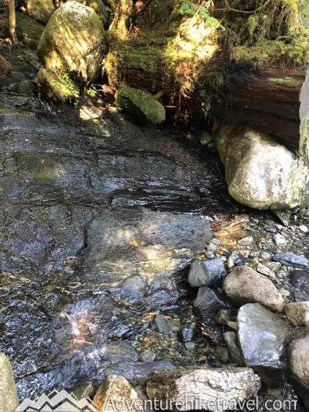
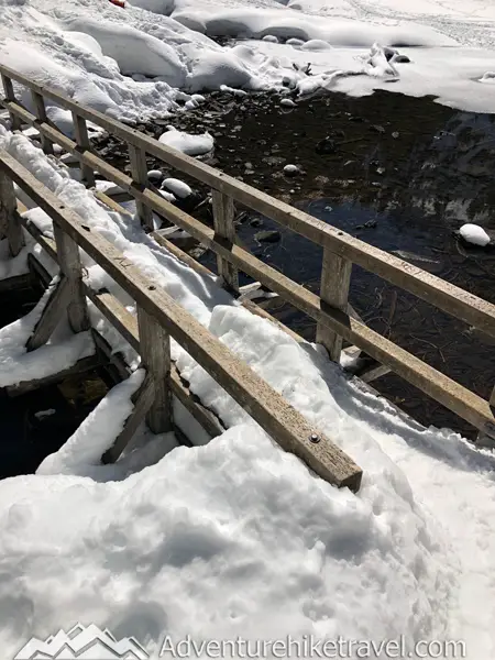
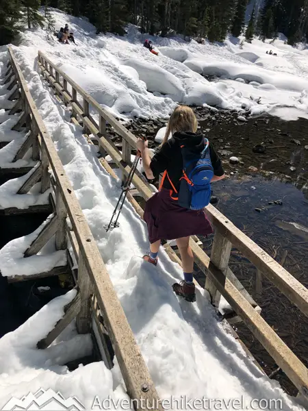
You'll encounter lush moss, ferns, and impressive old-growth cedars and hemlocks along the way. The sound of rushing water from Twenty-Two Creek accompanies you, and at 0.6 miles, you'll cross a wooden bridge over the creek offering views of a little waterfall.
Around 1.1 miles along the trail, you'll reach a viewpoint offering a glimpse of Hundred Step Falls, the trail's largest waterfall. It's fed by glacial runoff from Mount Pilchuck, flowing down from Lake 22. During my last visit in April, it was likely hidden under snow, but depending on the timing of your hike, you might catch a view of it.
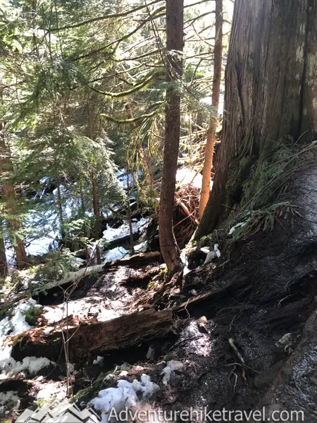
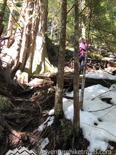
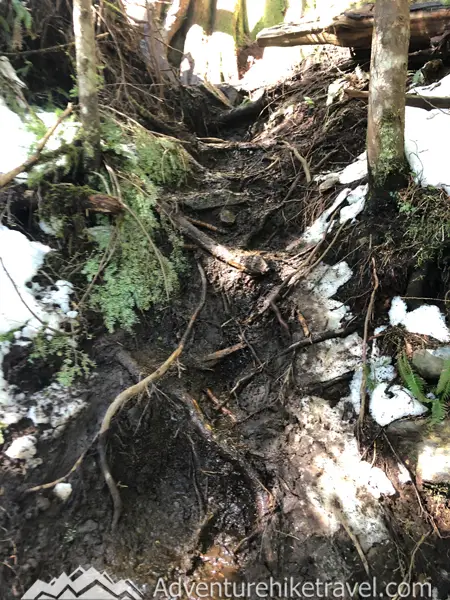
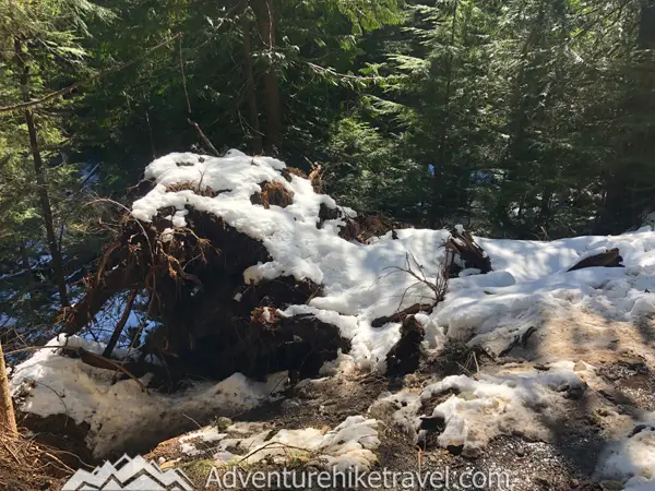
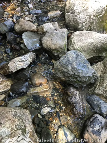
As the trail ascends, it becomes increasingly rocky and muddy, with numerous streams running across. You'll navigate over plenty of wet sticks and roots along the way. During spring hikes, expect to encounter growing snow patches as you climb. Amidst this terrain, you'll discover a rich variety of vegetation, featuring arnica, bunchberry, bleeding heart, salmonberry, and thimbleberry. Be careful climbing over roots and other debris from slides. The terrain gets significantly more rugged leaving behind the gravel pathways at the beginning of the trail.
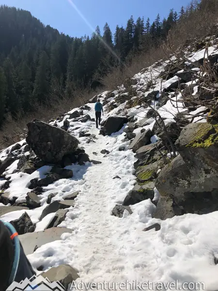
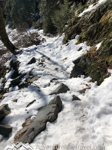
While this rocky and exposed stretch spans about half a mile and is only about 4 large switchbacks, it's worth noting that during the early spring months, sections of the rocky talus slope may become increasingly snow-covered. On my hike in April, around the midway point of this talus field, I switched to wearing Microspikes full-time for safer footing.
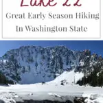
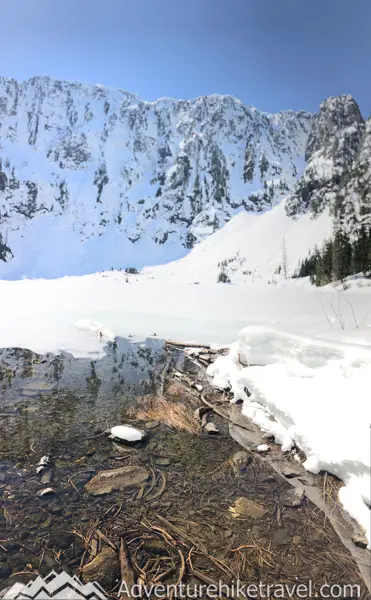
At the 2.1-mile mark you will reenter the forest and once again be under the cover of old cedars and pines. Not long after, you will reach the wooden bridge that goes over the outflow from Lake 22 and can take in the sweeping panoramic view of Lake 22 and the sheer rocky cliffs of Mount Pilchuck towering above.
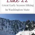
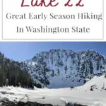
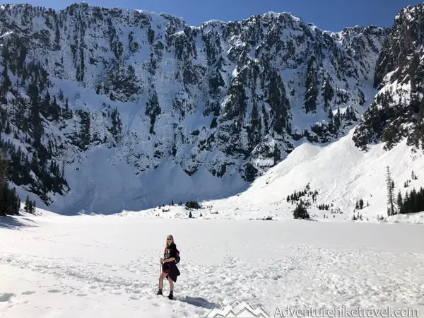
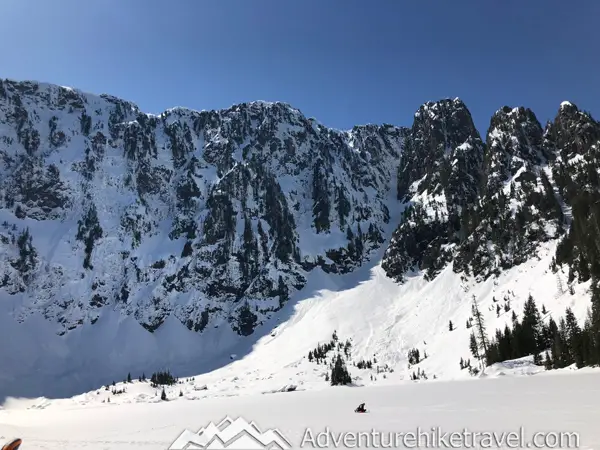
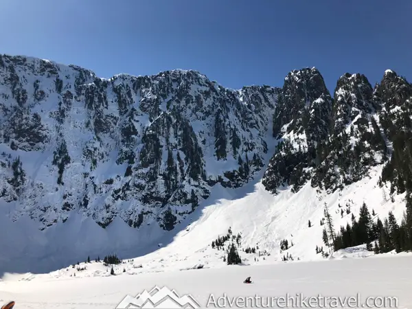
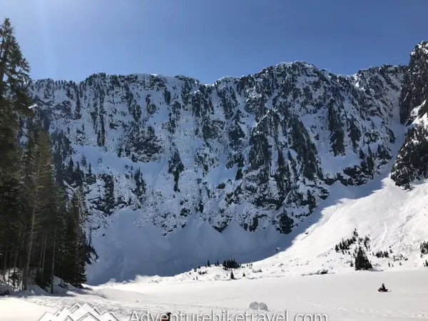
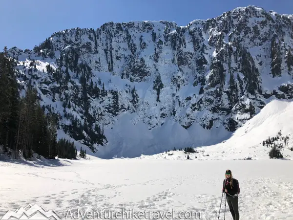
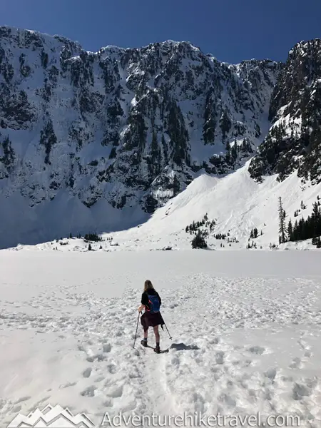
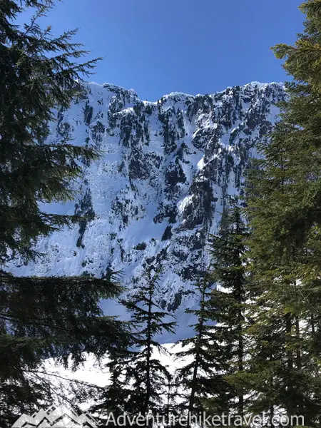
Lake 22 is truly stunning, especially with the towering sheer rock face from the northern side of Mount Pilchuck. There are often waterfalls or avalanches in the winter and spring coming over the cliff. With this beautiful lake and giant rocky mountain peaks towering above you feel like an ant in the vastness of this scenic landscape. This is a great spot to break out your lunch.
Be Aware of Avalanche Danger On The Lake 22 Trail When Snow Is Present
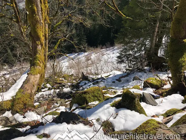
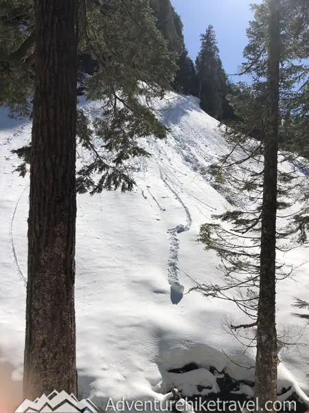
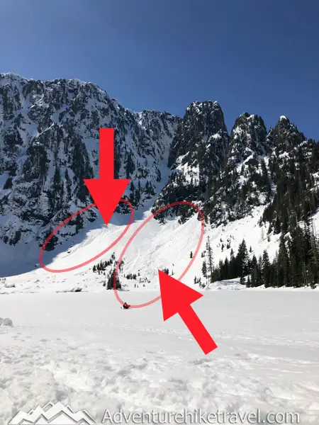
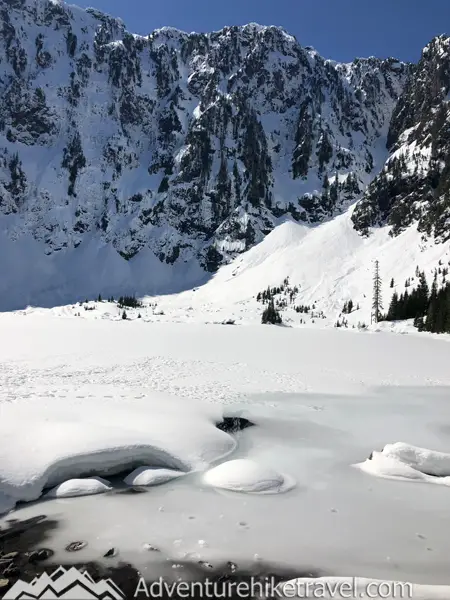
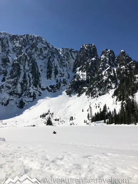
Caution: Avalanches are a real danger along Lake 22 Trail in winter, with multiple chutes posing risks along the route and at the lake itself. In the pictures above you can see some evidence of avalanche activity. It's crucial to avoid hiking here during heavy snowfall, as past incidents have tragically resulted in fatalities. Only venture out in winter and spring while snow is present if you have proper avalanche safety training. Despite being a popular summer destination, Lake 22 becomes hazardous with audible and visible avalanches during the colder months. Check avalanche forecasts and your own abilities before attempting this trail. Stay informed by visiting the Northwest Avalanche Center website for updated conditions, and consider joining winter safety and avalanche awareness classes with The Mountaineers, Edgeworks Rock Climbing, Baker Mountain Guides, Alpine Ascents.
The Northwest Avalanche Center website is an invaluable resource for assessing the safety of hiking or snowshoeing trails, particularly in winter or spring. Given the fluctuating temperatures and conditions during winter, which increase the risk of avalanches, it's essential to check conditions before embarking on any outdoor adventure, whether it's hiking, cross-country skiing, or snowshoeing. Always prioritize safety by staying informed on the latest avy dangers.
Do Not Walk on the Frozen Lake!
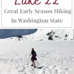
For your safety, avoid walking on the lake even if it appears frozen. During my visit, I stayed along the lake edge and only ventured as far as I thought the land extended. If I did accidentally step on the ice I would be only on the edge of the lake probably ankle-deep at most. While I was having lunch and enjoying the views, I noticed many people walking to the middle of the frozen lake. Unfortunately, the next day, someone fell through the ice and had to be rescued by search and rescue. Be smart and stay safe—do not walk on the frozen lake.
Are Dogs Allowed On The Lake 22 Trail?
Passes Needed to Hike Lake 22
Lake 22 is located in the Mt. Baker-Snoqualmie National Forest so you will need either a Northwest Forest Pass or America the Beautiful Interagency Pass.
Northwest Forest Pass $30 Annual Pass / $5 Day Use
The Northwest Forest Pass is your ticket to exploring all Forest Service-operated recreation sites in Washington and Oregon that require a day-use fee. For just $5 per day or $30 for an annual pass, you gain access to a ton of awesome spots, making it a fantastic deal for anyone who loves the outdoors.
America the Beautiful Interagency Pass
The America the Beautiful Interagency Pass for $80 opens doors to a wealth of outdoor adventures across the United States. If your travel plans include visits to multiple national parks, national forests, and lands managed by various agencies like the National Park Service, US Fish & Wildlife, US Forest Service, Bureau of Land Management, Bureau of Reclamation, and US Army Corps of Engineers, this pass is an excellent choice. Whether you're exploring The North Cascades, Mount Rainier, Olympic National Park, Mount St. Helens, or any hikes within Washington State's national forests, or if you plan on venturing to national parks throughout the country within a year, the America the Beautiful Interagency Pass is the ultimate pass for you. Embrace the boundless opportunities and embrace the beauty of America's diverse natural landscapes with this comprehensive pass.
Why Is The Lake Named Lake 22?
So, why the name 'Lake 22'? Well, the truth is, it's a bit of a mystery.
One theory suggests that back in the 1800s, old railroad maps listed creeks numerically, and lo and behold, our lake landed the lucky number 22. Another idea proposes that when the forest was divided into sections, each was labeled with a number, and this lake just happened to fall into section 22.
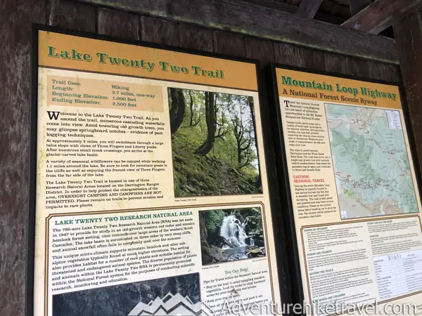
Regardless of its origins, the area surrounding the 790-acre lake was designated the Lake Twenty Two Research Natural Area in 1947, aiming to safeguard its beautiful old-growth from logging. And ever since, the name has endured.
How Long Does It Take To Hike The Lake 22 Trail?
Typically, hikers complete the Lake 22 Trail in about 3-4 hours round trip. This short scenic trip in the North Cascades is a stunning day hike that is pretty easy to complete without taking up your whole day.
Check The Weather Before You Go.
Before taking off to hike the Lake 22 trail, it's crucial to check the weather forecast. Nestled within the majestic North Cascades Mt. Baker-Snoqualmie National Forest, this hiking destination is subject to ever-changing mountain weather. Checking the forecast allows you to prepare accordingly, ensuring a safer and more enjoyable experience. Sudden changes in weather, such as rain, snow, or fog, can significantly impact trail conditions and visibility, making it essential to be well-informed before hitting the trail. Many hikers make the mistake of taking an easier trail for granted and get caught up in surprise mountain snow or weather. By staying updated on the weather forecast, you can make informed decisions about gear, clothing, and timing, and have a safer hiking experience.
Check The Lake 22 Seven-Day Weather Forcast
When Hiking In Snowy Conditions Do Not Forget To Bring Microspikes!
When hiking the Lake 22 trail in the spring, snowy conditions are common, making it essential to bring Microspikes. These traction devices provide extra grip on icy and slippery surfaces, ensuring a safer hike. As the trail can still be covered in snow and ice patches, Microspikes help you maintain stability and prevent slips and falls. By equipping yourself with Microspikes, you can confidently navigate the trail's challenging sections, enjoy the stunning scenery, and have a safer and more enjoyable spring hike at Lake 22.
Information Center:
For Additional information on Lake 22 you can contact the Darrington Ranger District office at 360-436-1155
or Verlot Public Service Center at 360-691-7791
Darrington Ranger District - Darrington Office
Address:
1405 Emens Avenue North,
Darrington, WA 98241
Verlot Public Service Center
Co-ordinates: 48.0770, -121.7457
Getting To The Lake 22 Trailhead
Getting to this trailhead is very easy and doesn't require a lot of route finding skills like other more rugged trailheads.
Just head towards Granite Falls on Hwy 92 until it morphs into E Stanley Street at its end. Drive east for about 0.3 miles, then take a left (north) onto N Alder Avenue, which will transition into the Mountain Loop Highway. After roughly 10.6 miles, you'll cross into the Mt. Baker-Snoqualmie National Forest. Keep going for another 2.1 miles until you pass over Twentytwo Creek. Another 0.4 miles ahead, look for the entry to the Lake Twentytwo trailhead on your right. You'll find parking around a gravel loop with space for nearly 50 cars. There's also a privy available for your convenience.
The road is very well maintained I was surprised that it was paved.
Guidebooks & Maps:
Want To Fill Your Life With Adventure?
Join our newsletter for an adrenaline-fueled journey! Receive exclusive updates on travel tips, gear reviews, epic hikes, captivating stories, and inspiration to turn your dreams into reality.
Don't just dream it, live it! Get Out There!

Other Blog Posts You May Like
Hiking to Maiden Peak from Deer Park in Olympic National Park
Tolmie Peak Fire Tower Trail in Mount Rainier National Park
The Ultimate Guide to Backpacking to Lake Angeles in Olympic National Park
The Ultimate Guide to Backpacking Lake Ingalls and Headlight Basin in Washington State
High Rock Lookout – Hiking in Gifford Pinchot National Forest
Backpacking Upper Lena Lake – Olympic National Park
Milk Lake: Beautiful Hidden Gem in Olympic National Park
How to Successfully Do A Sunrise Hike Up Mt. Townsend
The Ultimate Guide To Hiking Mailbox Peak
Marymere Falls – Easy Hike in Olympic National Park
Franklin Falls Easy Beautiful Winter Hike Near Seattle
Narada Falls (Paradise Mt. Rainier Hikes)

