Marymere Falls – Easy Hike in Olympic National Park
Marymere Falls - Easy Hike in Olympic National Park
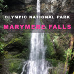
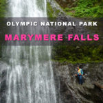
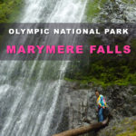
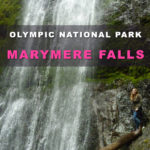
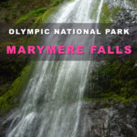
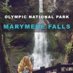
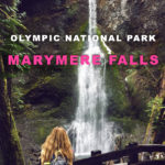
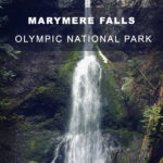
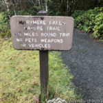
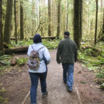
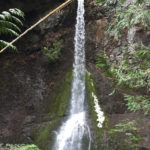
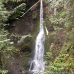
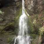
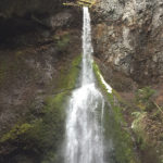
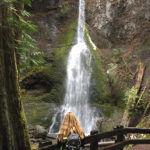
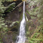
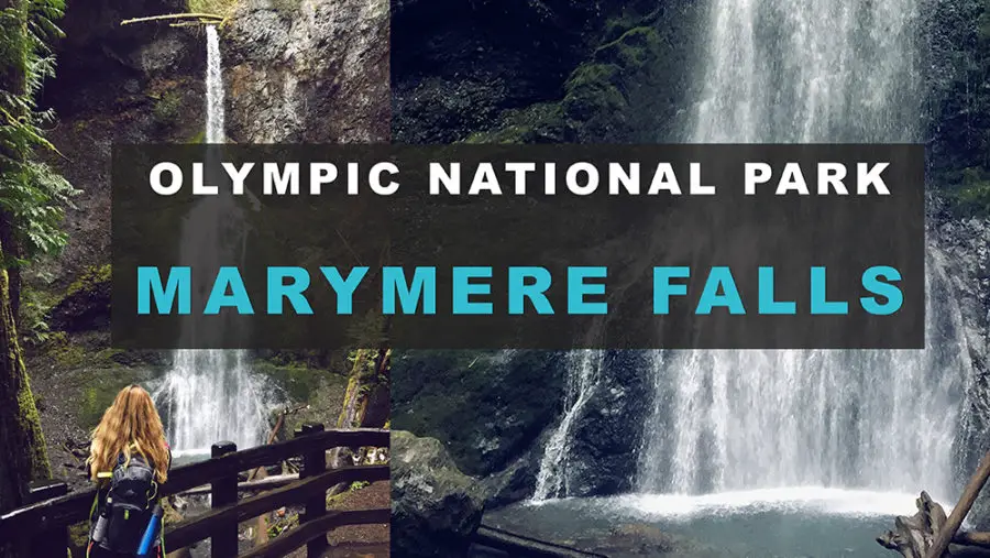
Marymere Falls is a 90-foot-high waterfall located near Lake Crescent in Olympic National Park, Washington State. This easy 1.5 mile round trip hike is an extremely beginner friendly trail with a great payoff. My hiking group was able to walk at a leisurely pace, with plenty of time to stop and take pictures. We completed this hike in about an hour. For the most part this trail is flat and follows Barnes Creek through a beautiful lush old growth forest with some truly massive trees. The trail only has 500ft in elevation gain.

Height: 90 feet Avg. Width: 5 feet Max. Width: 40 feet Form: Plunge waterfall Source Stream: Falls Creek Park: Olympic National Park Dog's: No Dogs Allowed Distance: 1.5 miles, roundtrip Skill Level: Easy, Beginner Congestion: High Elvation Gain: 500 ft. Highest Point: 1100 ft Parking Pass: Yes National Park Pass, America the Beautiful Region: Northern Olympic Peninsula, WA Trail Type: Loop Seasons: Spring, Summer, Fall, Winter
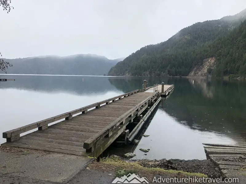
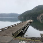
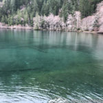
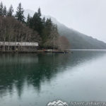
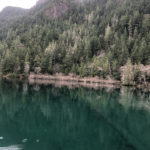
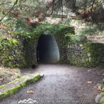
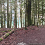
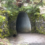
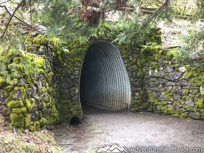
After parking at the Storm King Ranger Station, you can take a moment to walk out on the dock and see the crystal clear blue-green water of Lake Crescent. The Marymere Falls Nature Trail starts next to the historic Storm King Ranger Station, also known as the Storm King Guard Station, and Morgenroth Cabin built in 1905. Toward the beginning of the trail you will pass under highway 101 through a cool metal tunnel with a entrance of moss covered stones.
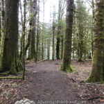
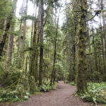
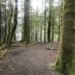
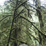
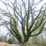
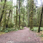
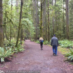
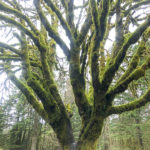
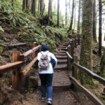
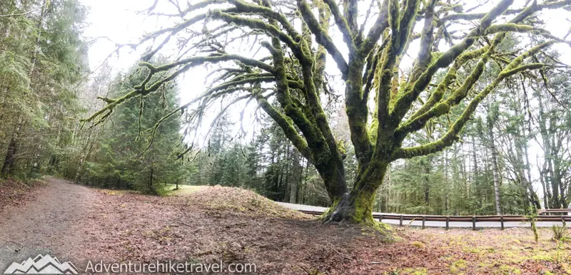
The trail to Marymere Falls is well maintained with an easy flat pathway through a gorgeous old Growth Forest. You will pass by some trees with gigantic trunks. Many of the trees are covered with the iconic green moss typical of the Olympic National Park rainforest. This ancient forest has many species of trees and vegetation. Some of the most common you will see include, fir, cedar, hemlock and maple.
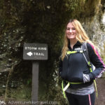
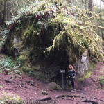
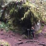
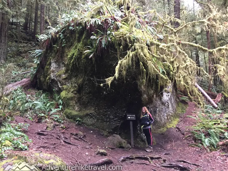
Despite being able to view the falls year round, this hike makes for a great easy rainy day adventure. With the protective canopy of trees over head and the vibrant lush green mosses along the trail, you can forget how dreary it is out when it is raining for days on end. I really loved seeing all the moss and ferns growing on the top of this gigantic boulder that marks the start of the Mt. Storm King Trail if you turn off to the left. Mt. Storm King is a nice 4.7 mile round trip hike that overlooks Lake Crescent below.
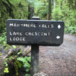
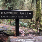
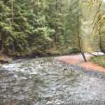
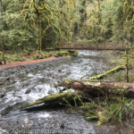
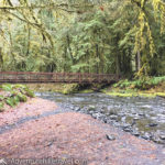
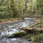
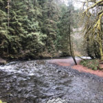
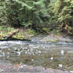
Soon after passing the Mt. Storm King trail junction, you will see a sign pointing to the right to follow the Marymere Falls Nature Trail. If you continue on straight without heading to the falls, the trail turns into the Barnes Creek Trail, a 10.0 mile, round trip hike. The trail to Marymere Falls is very clear and easy to spot. After turning right to head to Marymere Falls, you will reach a clearing with a picturesque view of Barnes Creek.
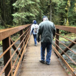
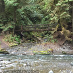
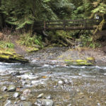
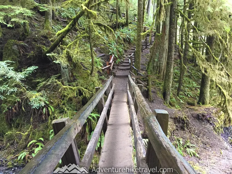
You cross over Barnes Creek on a metal bridge and soon after you will go across a more rustic wooden bridge. The two bridges make for some really scenic pictures.
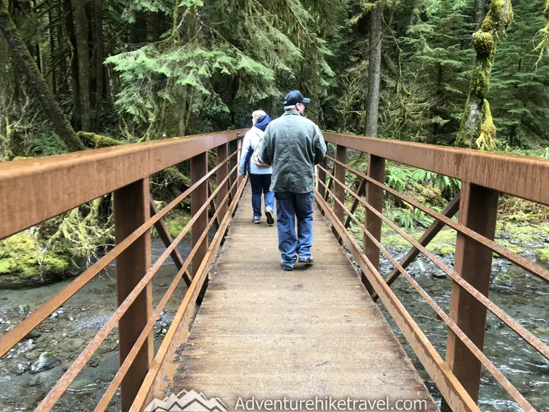
After crossing the Barnes Creek bridges you start the short climb to the falls. The trail has been relatively flat until this point making this trail an excellent hike for those with small children or the elderly.
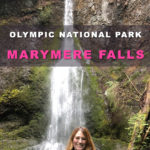
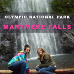
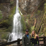
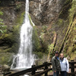
There are two main viewpoints to see the falls. Directly across from the base of Maryemere Falls is the lower viewpoint which personally, I believe is the best. This is an excellent picture taking spot. The second viewpoint is higher up the hillside looking down at the falls. You can see the waterfall from both viewpoints by following the loop.
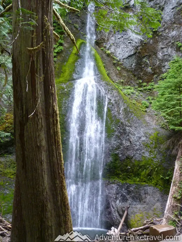
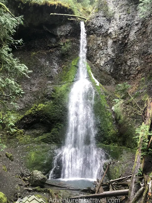
The breathtaking views of the 90 ft. waterfall make this a Washington State must see. Even though this waterfall may not be as powerful as Snoqualmie Falls or as tall as Mt. Rainier's Narada Falls, Marymere is just as gorgeous in its own unique way. With the lush vegetation, giant trees, and moss covering the rocks around the falls it feels like this could be the setting of Jurassic Park - just without the dinosaurs!
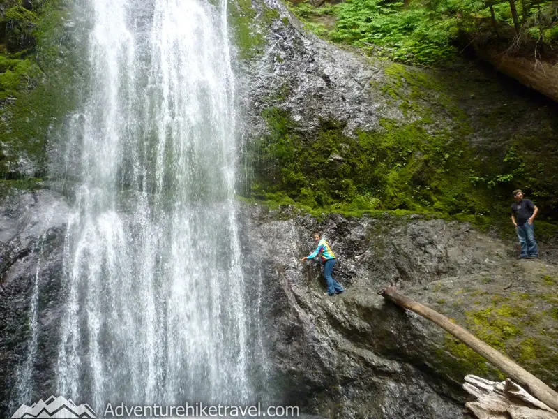
Insider tip: Visit Marymere Falls on a weekday or during the rainy winter months. Due to the ease of access right off highway 101 and the waterfall's popularity, the trail tends to get a bit overcrowded at other times. Especially during the summer months when people are on their way to camp at Lake Crescent or visit the beaches at La Push. If weekends are your only option, try to get to the trailhead early or on a rainy day.
Fun fact: Marymere Falls was named after Mary Alice Barnes. Mary was the sister of Charles Barnes, who was a part of the 1889-90 Press Expedition, exploring the Olympic interior. Barnes’s family lived along the creek you passed over to reach the falls. That creek was also renamed Barnes Creek in honor of Charles Barnes.
So in summery, Marymere Falls is a beautiful waterfall that you can get to after only a short hike. Definitely well worth the stop after visiting Lake Crescent or on the way to La Push, Second Beach, Ruby Beach, or Solduc Falls. It is a good idea to pair this hike with other local sights in the area.

Affiliate Disclosure: This website contains affiliate links, which means Adventure Hike Travel may receive a percentage or affiliate commission at no extra cost for you on any product or service you purchase using the links in the articles or advertisements. Please note that we have not been given any free products, services, or anything else by these companies in exchange for mentioning them on the site. The only consideration is in the form of affiliate commissions that helps to support Adventure Hike Travel’s ongoing goal to serve you quality Adventure, Hiking and Travel advice and information. Thanks for your support! To learn more, please visit the Disclaimer page.
Park Contact Info
Olympic National Park
600 East Park Avenue
Port Angeles, WA 98362-6798
Visitor Information: (360) 565-3130
Road & Weather Information: (360) 565-3131
Wilderness Information Center and Backcountry Permit Office (WIC) (360) 565-3100
Weather: https://forecast.weather.gov/MapClick.php?lat=48.0495&lon=-123.7889#.WqhvCejwaUk
Marymere Falls (#50)
Olympic National Park Co-ordinates: 48.0578, -123.7884
Driving Directions: Heading from Port Angeles, continue down Highway 101 west for about 20 miles. You will drive a stretch with views of Crescent Lake to your right. You will see a sign for the Storm King Ranger Station. After the ranger station turn right onto Lake Crescent Rd. There is a large parking lot with plenty of picnic tables. From the parking lot there will be signs to the trailhead.
Other Waterfall Hikes You May Be interested In
Narada Falls (Paradise Mt. Rainier Hikes)
Myrtle Falls & Edith Creek – Paradise Mt. Rainier
Franklin Falls Easy Beautiful Winter Hike Near Seattle
Gearing up for an adventure in Olympic National Park? Check out this article BEST THINGS TO DO IN OLYMPIC NATIONAL PARK on KÜHL’s Born In The Mountains® Blog for some awesome tips. From must-know essentials to insider hiking hacks, it's got you covered, whether you're a seasoned pro or a newbie to the trails.
Want To Fill Your Life With Adventure?
Join our newsletter for an adrenaline-fueled journey! Receive exclusive updates on travel tips, gear reviews, epic hikes, captivating stories, and inspiration to turn your dreams into reality.
Don't just dream it, live it! Get Out There!


